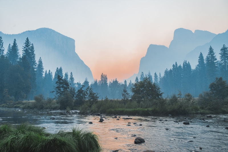
DAY 01
The Azure
Precipice
Where the mountain veins bleed into the sea. Our first checkpoint marks the transition from the high alpine winds to the coastal saline mist.
Tracing the unmapped edges of the season. A journey where every scroll reveals a new horizon.
Where the mountain veins bleed into the sea. Our first checkpoint marks the transition from the high alpine winds to the coastal saline mist.

"The air at 2,000 meters tastes different—like a secret kept by the clouds for a thousand years."

"We left our footprints in the obsidian dust, knowing the wind would erase them by dawn."
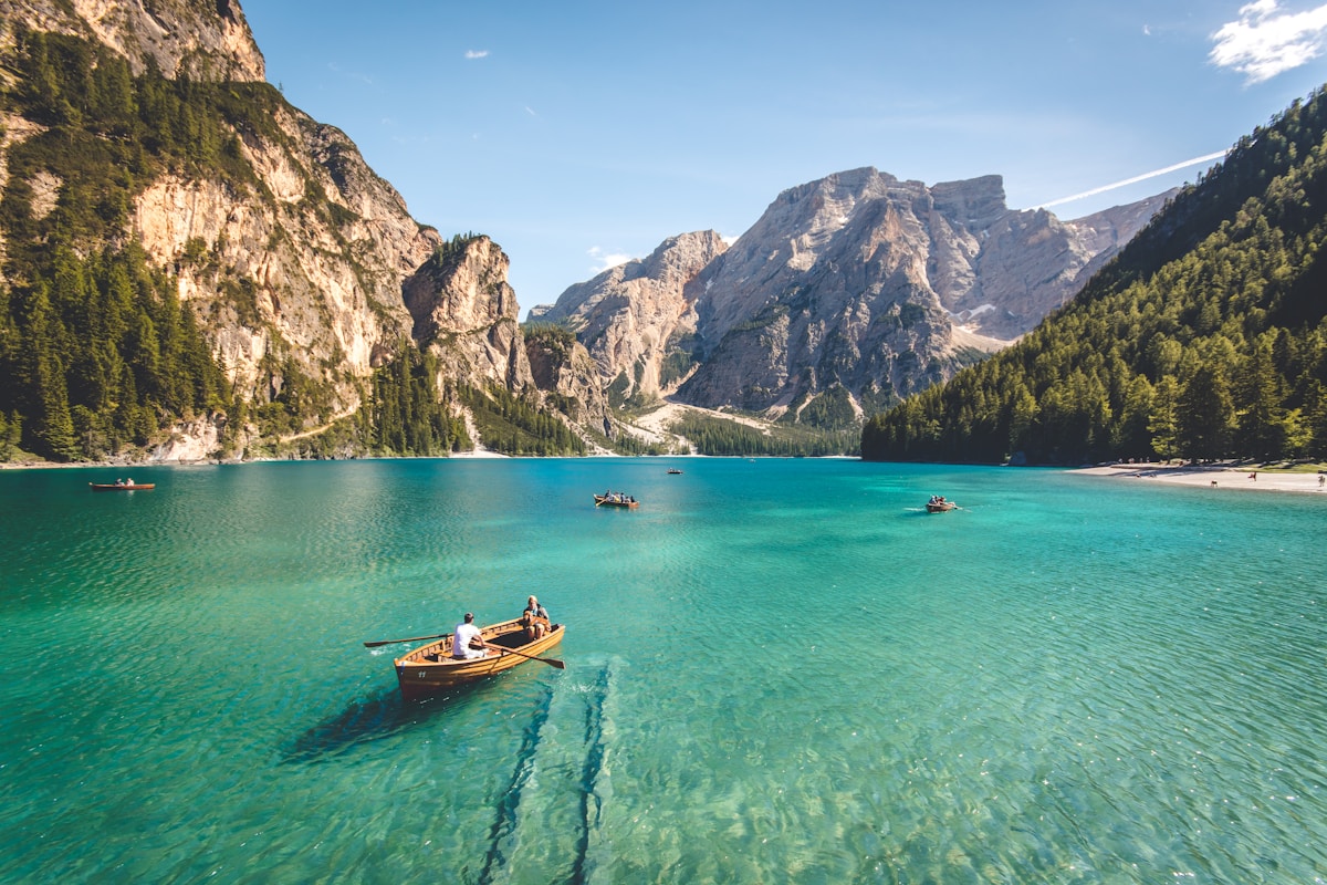
WHISPERING PEAK
A high-elevation ridge known for acoustic anomalies and rare moss.
VERDANT BASIN
The lowest point of the trail, featuring bioluminescent fungi at night.
Our map isn't just a guide; it's a living archive. Every coordinate clicked reveals a layer of history, climate, and community lore.
SCROLL THE RULER
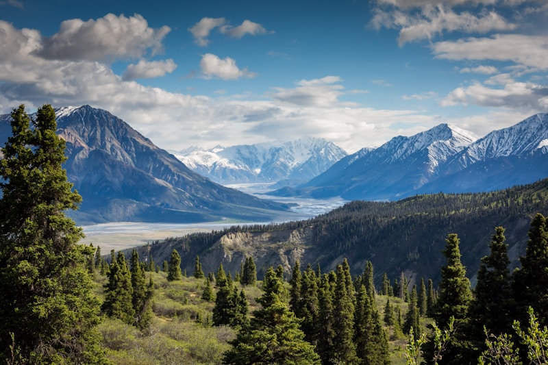
01 / GLACIAL DRIFT
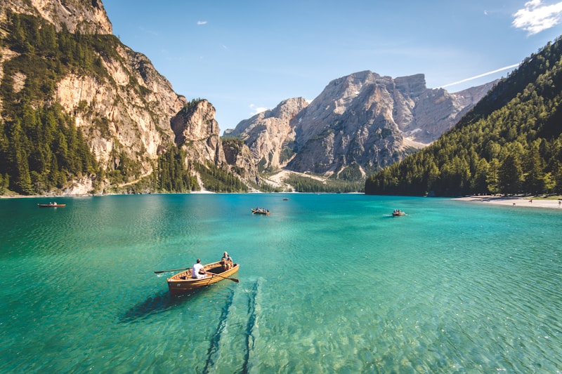
02 / SILENT FJORD
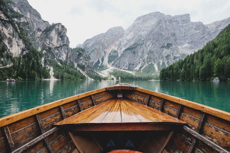
03 / VERDANT FLOW

LATITUDE: 46.1245° N
LONGITUDE: 12.0014° E
GEAR: LEICA M6 / 35mm
"There is a specific kind of silence that only exists in the high meadows. It isn't an absence of noise, but a presence of stillness. We sat by the stone ruin for three hours, watching the shadows stretch across the valley floor like slow, ink-dark rivers."
MILES WALKED
CITIES CROSSED
MOMENTS CAPTURED
JOURNALS FILLED
The trail never truly ends. It only waits for your return.